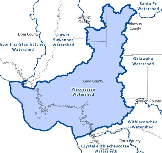
LIVE OAK, FLA., JUNE 2, 2025 – The Suwannee River Water Management District (District) and Federal Emergency Management Agency (FEMA) will host a meeting on July 1 to discuss updated flood risk maps for counties included in the Waccasassa Watershed. The District encourages local property owners to provide feedback on their property’s flood status.
Residents who live in certain areas of Alachua, Gilchrist, and Levy counties – including the towns of High Springs, Newberry, Alachua, Archer, Bronson, and Otter Creek – may be impacted by the updated FEMA flood maps. This means that some residents may experience an increase in their designated flood risk, while others may see a decrease, as reflected in updated flood maps. These changes are based on improved data and modeling used to better represent flood hazard.
The maps are revised periodically to improve flood information for local communities in their planning and development. Flood zone designations can impact insurance rates.
Residents looking for information on the status of their property, and any proposed changes, can visit the virtual meeting room and follow the steps below to review possible changes to their property:
- Visit www.SRWMDFloodReport.com/Virtual
- Click on the Waccasassa Flood Risk Review Meeting icon
- Select the GIS Data tab at the bottom of the page and then the Waccasassa FRR Viewer link
- Users are able to enter their address in the top left corner of the website. Areas in red are new additions into a flood zone; areas in green have been removed from a flood zone. Areas in yellow represent no change.
If residents see that there is a proposed change to their property, they are encouraged to attend the upcoming meeting, where representatives from the District will be available to discuss the development of the flood risk maps for the region. Those unable to attend can submit feedback up to 30 days after the meeting.
Feedback received will be taken into consideration for the development of the preliminary maps, which are expected to be available for review next year.
The Waccasassa Flood Risk Review meeting will take place at 5 p.m. on July 1, at the Dogan S. Cobb Municipal Building, 660 East Hathaway Avenue, in Bronson.
Additional information, including the presentation to be made at the meeting, can be found at www.SRWMDfloodreport.com/virtual.
The mission of the Suwannee River Water Management District is to protect and manage water resources using science-based solutions to support natural systems and the needs of the public. Headquartered in Live Oak, Florida, the District serves 15 surrounding north-central Florida counties.
For more information about the District, visit www.MySuwanneeRiver.com or follow us on Facebook, Instagram, YouTube, and X.
###